


Stoney Creek Women's Thermotough Puffer Jacket Black
Regular price
$429.00 NZD
Sale priceFrom $395.99 NZD
Size:
8


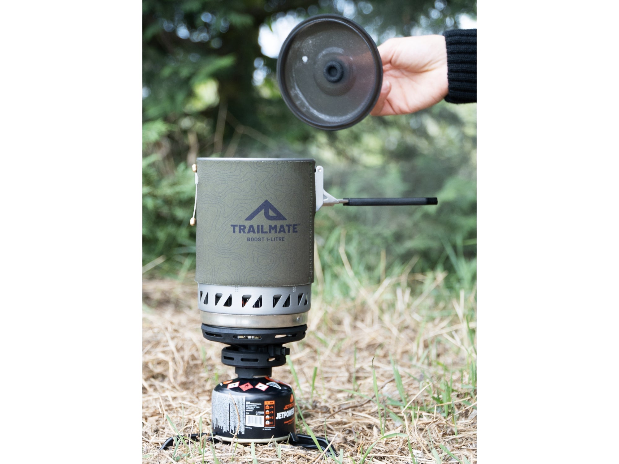
Trailmate Boost Control 1L Cooking Stove With Flame Control
Sale price$169.00 NZD
Title:
Default Title


Rab Ascent Down Sleeping Bag -12C 650 Fill Left Zip - Blue
Sale price$749.00 NZD
Title:
Default Title


Rab Mens Microlight Alpine Down Jacket - Black
Regular price
$399.00 NZD
Sale priceFrom $279.00 NZD
Size:
Medium


Stoney Creek Men's Thermotough Puffer Jacket - Black
Regular price
$429.00 NZD
Sale priceFrom $389.00 NZD
Size:
S


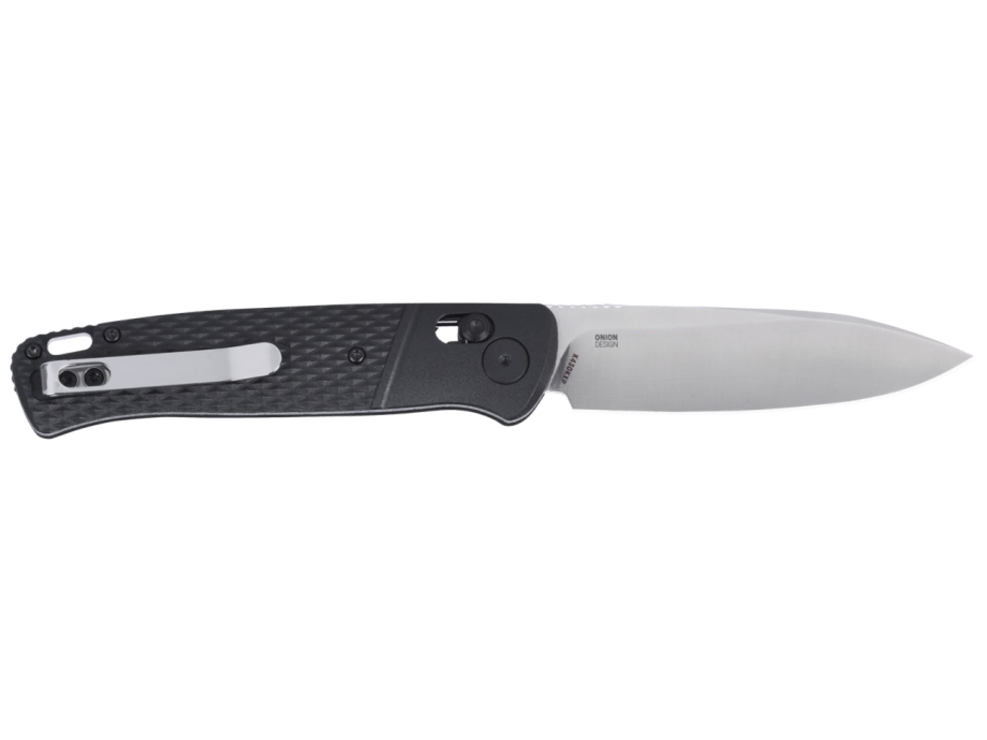
CRKT Counterpart Folding Knife 3.38in Crossbar Lock | Black
Sale price$199.00 NZD
Title:
Default Title

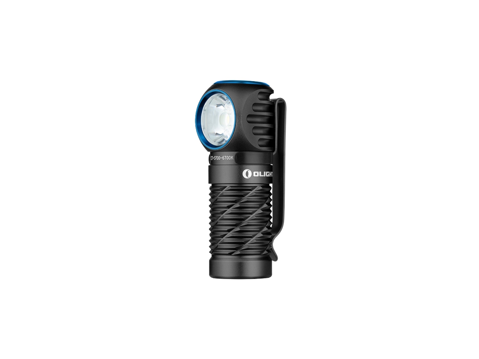

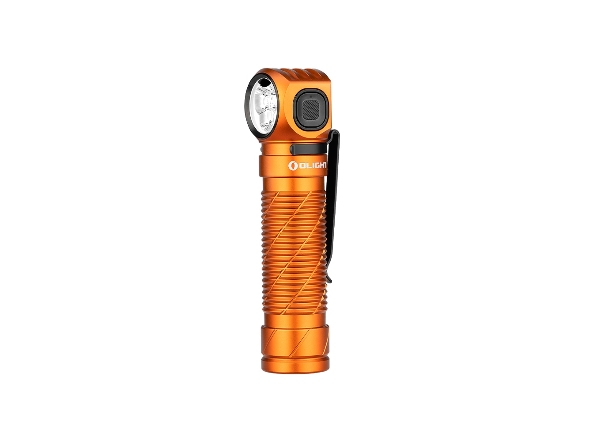
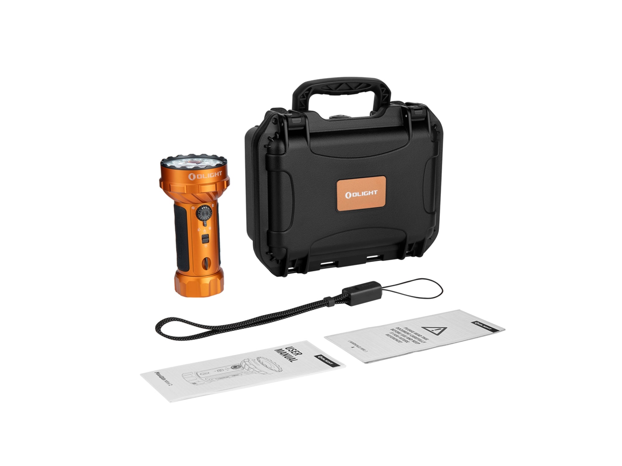
Olight Perun 3 Rechargeable Headlamp Orange 3000 Lumens
Regular price
$199.00 NZD
Sale price$156.00 NZD
Title:
Default Title

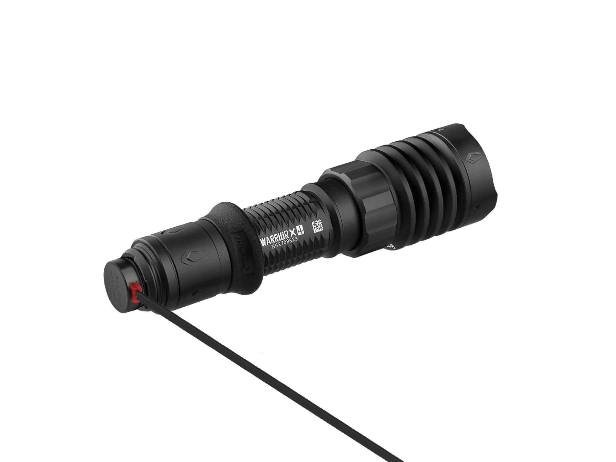
Olight Warrior X 4 Torch Kit 2600 Lumens | 630m Beam
Regular price
$399.00 NZD
Sale price$256.00 NZD
Title:
Default Title


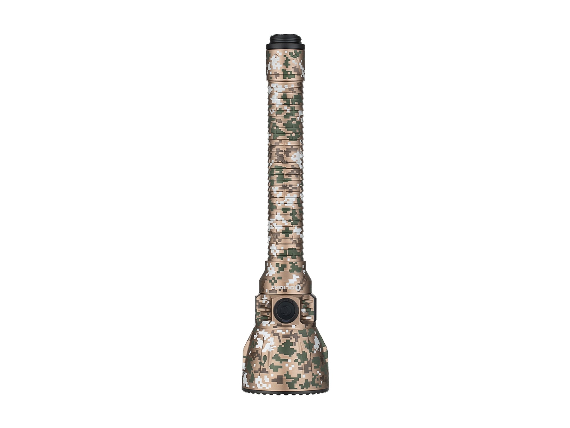
Olight Marauder Mini 2 Torch 10000 Lumens Rechargeable - Orange
Sale price$499.00 NZD
Title:
Default Title


Stoney Creek Sleeping Bag Black Stag Integrity 500 Ketchup
Sale price$599.00 NZD
Title:
Default Title
Rab Ascent Down Sleeping Bag -12C 650 Fill Left Zip - Blue
Sale price$749.00 NZD
Title:
Default Title
Shop the essentials


Klymit Insulated Static V Lite Sleeping Pad: Mango
Regular price
$279.00 NZD
Sale price$212.00 NZD
Default:
Default


Ocean Signal rescueME PLB1 Personal Locator Beacon 406MHz
Regular price
$629.00 NZD
Sale price$589.99 NZD
Default:
Default


Manitoba Expedition Alpine Trousers | Waterproof & Windproof
Regular price
$249.00 NZD
Sale price$199.00 NZD
Size:
X-Small


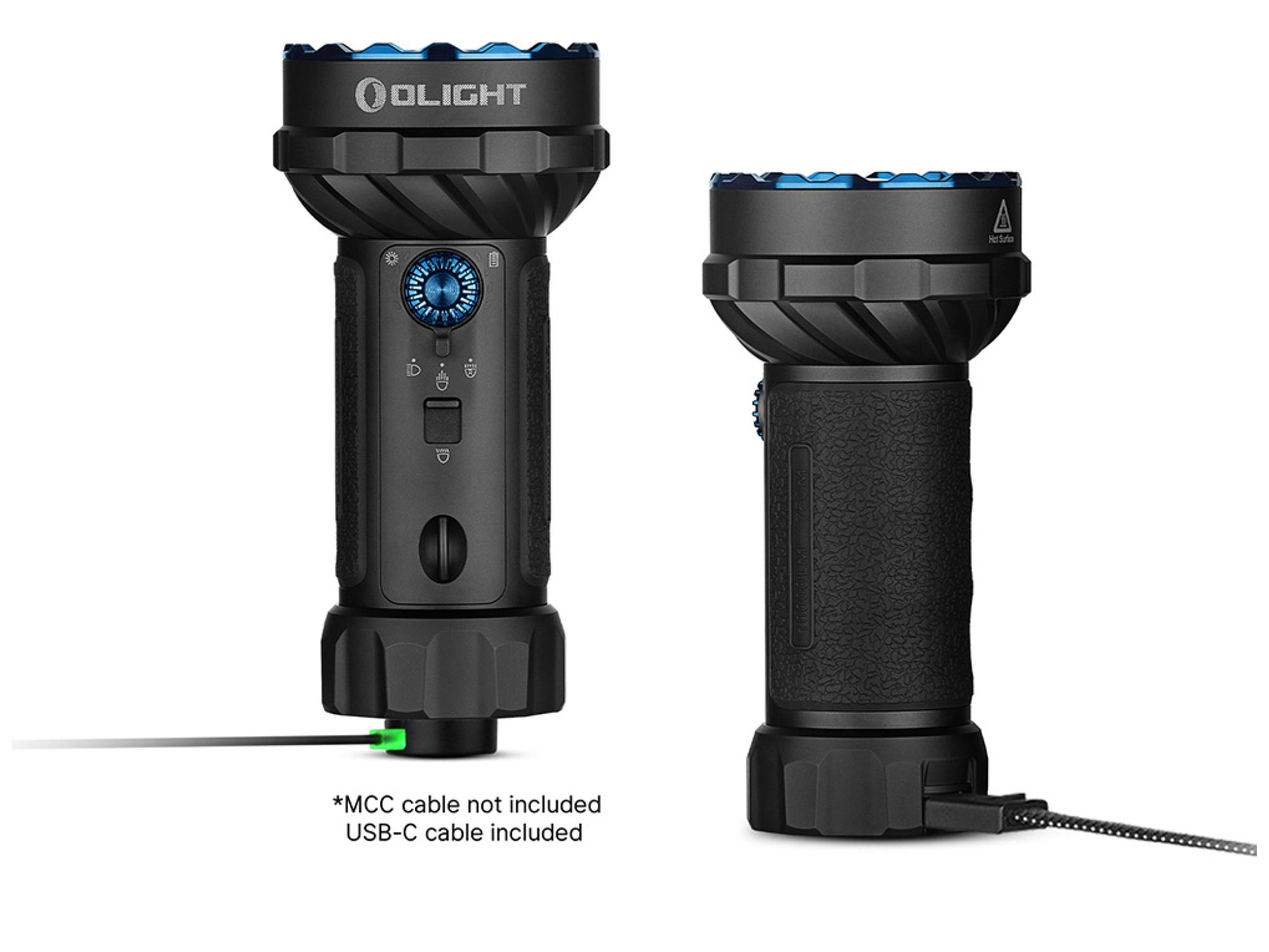
Klarus HM1 Rechargeable Headlamp 440 Lumens
Regular price
$79.99 NZD
Sale price$59.00 NZD
Default:
Default


Stoney Creek Men's Thermotough Puffer Jacket - Black
Regular price
$429.00 NZD
Sale priceFrom $389.00 NZD
Size:
S


Victorinox Tomato Knife 11cm
Regular price
$13.99 NZD
Sale priceFrom $10.99 NZD
Ocean Signal rescueME PLB1 Personal Locator Beacon 406MHz
Regular price
$629.00 NZD
Sale price$589.99 NZD
Default:
Default


Garmin InReach Mini 2
Regular price
$829.00 NZD
Sale priceFrom $749.00 NZD

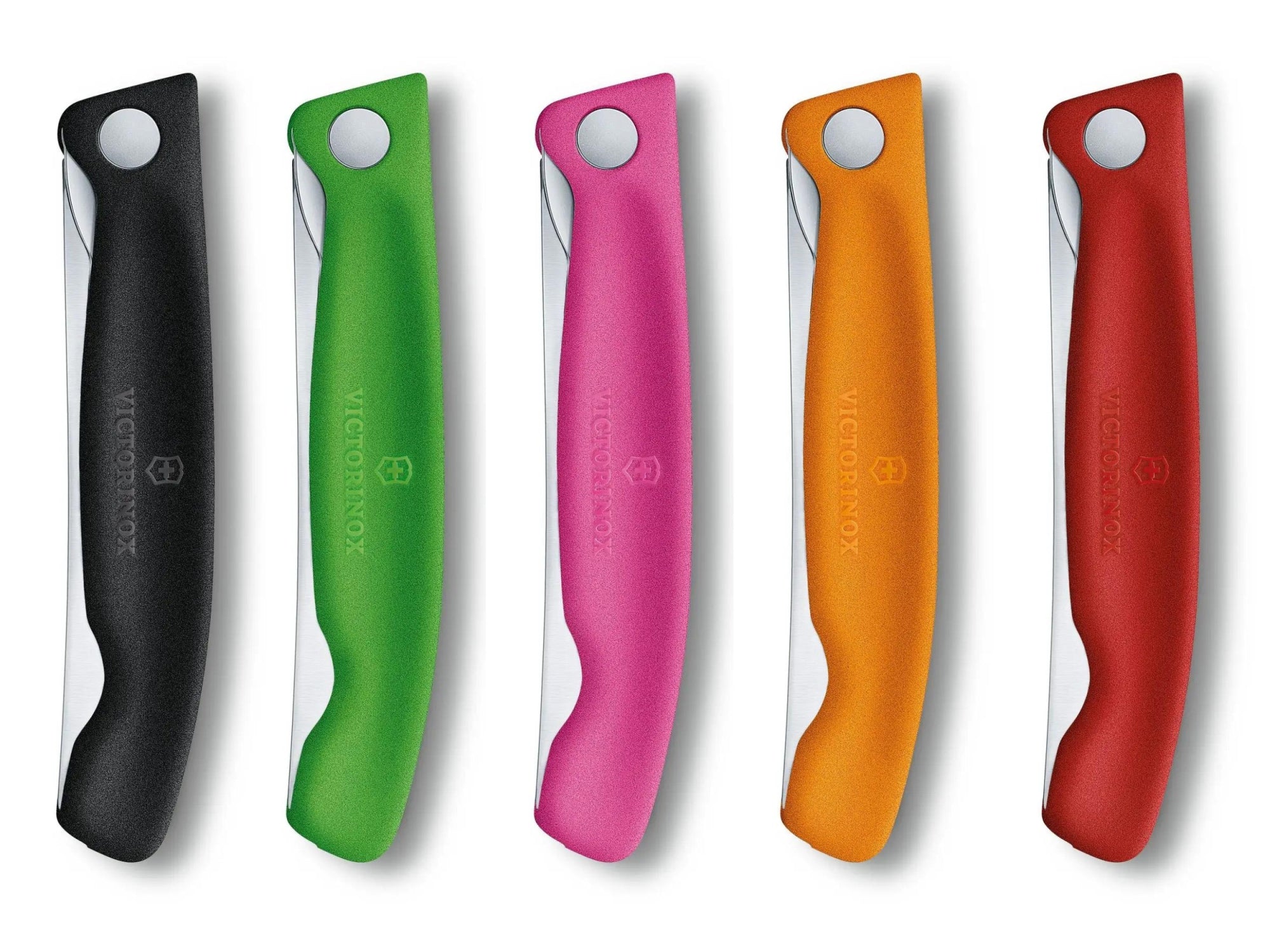
Victorinox Swiss Classic Folding Paring Knife | Choose Colour
Regular price
$67.99 NZD
Sale price$42.00 NZD

Multi Purpose 12V 7AH Sealed Rechargeable Battery
Regular price
$49.99 NZD
Sale price$44.99 NZD
Default:
Default


Howard Leight Impact Sport Electronic Earmuffs 22dB NRR - Green
Regular price
$179.00 NZD
Sale price$155.00 NZD
Default:
Default

Stoney Creek Women's Thermotough Puffer Jacket Black
Regular price
$429.00 NZD
Sale priceFrom $395.99 NZD
Size:
8


Leupold RX-1400i TBR Gen 2 Rangefinder
Regular price
$649.00 NZD
Sale price$549.99 NZD
Default:
Default


Radians Custom Molded Reusable Earplugs Silicone Fit Kit - Blue
Regular price
$54.99 NZD
Sale price$46.99 NZD
Default:
Default
Why Shop with Outdoor Shop
Free Domestic Shipping
Free shipping on orders above $200
Buy Now Pay Later
Buy with after pay
Price Match
Ask to match a price
100% Kiwi Owned
Proudly serving from coast to coast

Join Our Newsletter
Stay up-to-date with hand picked products, new deals and the latest news from Outdoor Shop NZ.
By subscribing, you agree to receive marketing emails from Outdoor Shop NZ, including product updates, offers and review requests. You can unsubscribe at any time.